Date
24 Feb 2025
—
28 Feb 2025
This course has been accredited by tropEd Network for Higher Education Institutions in International Health.
Next Dates: February 24-28, 2025
Course Language: English
Registration: Closed.
Registration Deadline: February 7, 2025
Course credits: 3 ECTS
Costs: EUR 600
Location: Tuerkenstrasse 89, 80799 Munich, Germany
Requirement: a basic understanding of public health concepts and some familiarity with statistical methods (from Descriptives to simple linear regression)
Introduction
Welcome to the 'Introduction to Health Geographic Information System' Course!
This introductory course on Health Geographic Information System (GIS) delves into the intersection of spatial health data and its significance in the realm of public health. By integrating theoretical frameworks with hands-on experiences, participants will discover how GIS tools can play a central role in understanding and addressing health-related matters in diverse environments.
Course Description
Participants will explore the fundamental principles of health geography and spatial epidemiology. Through lectures and practical exercises, they will understand the practical implications of GIS for health surveillance, disease outbreak prediction, and the optimization of health care delivery. Emphasis will be placed on data processing, visualization, and spatial analysis techniques, culminating in the creation and presentation of detailed health maps.
„Almost everything that happens, happens somewhere.“ (Longley PA et al., 2005)
Key Content Areas
- Theoretical Background: Delve into the significance, history, and evolution of health geography and the basics of spatial epidemiology.
- Use of GIS in Epidemiology and Health Care: Explore how GIS applications are instrumental in health surveillance, predicting disease outbreaks, and optimizing health care delivery.
- Quantitative Methods in Health Geography and Spatial Epidemiology: Become familiar with statistical tools for analyzing spatial patterns and associations.
- Presentation of Spatial Distribution: Understand and visualize the distribution of diseases, health determinants, and the geographical aspects of health care.
- Data Processing and Analysis in GIS: Engage in hands-on exercises in data collection, preparation, and spatial analysis using sample datasets.
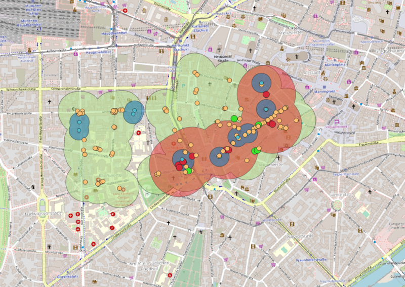
- Creation and Presentation of Health Maps: Learn the art and science of map-making, with a focus on visualizing diverse health topics using GIS software.
Learning Objectives
By the end of this course, participants will be able to:
- Critically discuss the relationship between health and geography, including the spatial determinants of health.
- Highlight and explain spatial disparities in health, emphasizing regional variances in disease prevalence and health care delivery.
- Skillfully apply GPS methods to create detailed maps, displaying health indicators in specific areas.
- Utilize GIS for spatial distribution and epidemiological analyses, navigating its basic functions effectively.
- Analyze and discuss underlying challenges related to spatial data analysis, ensuring rigorous research and robust findings.
Target Audience
Public health professionals, epidemiologists, researchers, health policy planners, and anyone interested in the confluence of geography and health.
Registration
Registration is Closed.
Cancellation Policy
For cancellations made before the registration deadline, a non-refundable fee of 100 EUR will be charged. For cancellations made after the registration deadline until the course start, a non-refundable fee of 300 EUR will be charged. In case of no-shows or cancellations from the start of the course, the full course fee will be charged.
Learn the art and science of map-making: